
British Columbia Highway 10
Highway 10 | ||||
|---|---|---|---|---|
| 56/58 Avenue, Langley Bypass, Glover Road | ||||
 Highway 10 highlighted in red. | ||||
| Route information | ||||
| Maintained by British Columbia Ministry of Transportation and Infrastructure | ||||
| Length | 26.59 km[1] (16.52 mi) | |||
| Existed | 1953–present | |||
| Major junctions | ||||
| West end | ||||
| East end | ||||
| Location | ||||
| Country | Canada | |||
| Province | British Columbia | |||
| Municipalities | Langley (township) | |||
| Major cities | Delta, Surrey, Langley (city) | |||
| Highway system | ||||
|
| ||||
| ||||

Highway 10 is a minor east-west route through the southern portion of Greater Vancouver. Highway 10 is used mainly as a local access route in North Delta, Surrey and Langley, its former connector role between South Delta and Highway 1 having been taken over by the Highway 17 (South Fraser Perimeter Road).
Route details[edit]
Highway 10 travels for a total length of 26.6 km (16.5 mi) from North Delta to Langley. In the west, the highway begins at an interchange with Highway 91 as a continuation of the Ladner Trunk Road. It travels northeast before turning onto 58 Avenue as it crosses from Delta into Surrey near Watershed Park. Highway 10 then travels through residential neighborhoods in Newton and dips south to intersect King George Boulevard in a split junction near a courthouse complex.[2]
The highway continues east on 56 Avenue through a rural zone before reaching Cloverdale, where it intersects Highway 15. Highway 10 then crosses into the City of Langley and travels around the north side of the city centre on the Langley Bypass. The bypass intersects the Fraser Highway at the Willowbrook Shopping Centre and continues east through an industrial and retail area towards the outskirts of the city. Highway 10 leaves the bypass near the Kwantlen Polytechnic University Langley campus, turning northeast to follow Glover Road into Langley Township.[2]
Highway 10 continues northeast through a rural area of Langley Township and turns east onto Springbrook Road near the Trinity Western University campus. The highway then turns north onto 232 Street and terminates at a cloverleaf interchange with Highway 1.[2]
History[edit]
Highway 10 was first commissioned in 1953, following its current alignment from Ladner east to Scott Road in Delta/Surrey, then turning north onto Scott Road.[citation needed] The section west of King George Highway was built over the following years by the provincial government.[3]
The bypass of the Langley city centre opened on July 14, 1966, and was accompanied on its first day by several collisions—seriously injuring two people and killing one person.[4][5] When the bypass first opened it only went as far east as Glover Road.[6]
In 1967, the highway was re-aligned to continue on the Langley bypass and other roads to a junction with Highway 1 at 232nd Street.[citation needed]
On August 28, 1980, the non Highway 10 section of Langley Bypass between Glover Road and Fraser Highway was officially opened. [7]
In 2003, all sections of Highway 10 west of the Highway 91 interchange were removed from the provincial highway system; this was done to keep large trucks off the road and out of rural Delta. The municipality of Delta now maintains this segment of the old highway, now only known as Ladner Trunk Road (locally, it is still referred to as part of Highway 10).
Major intersections[edit]
The entire route is in Metro Vancouver.[8]
| Location | km[1] | mi | Destinations | Notes | |
|---|---|---|---|---|---|
| Delta | 0.00 | 0.00 | Hwy 10 western terminus; interchange, Hwy 91 exit 2; becomes 58th Avenue | ||
| Delta–Surrey line | 1.31 | 0.81 | Scott Road (120th Street) | ||
| Surrey | 5.76 | 3.58 | King George Boulevard | Split intersection; becomes 56th Avenue; former Hwy 99A | |
| 12.55 | 7.80 | ||||
| 16.00 | 9.94 | 192nd Street | Becomes Langley Bypass | ||
| Langley (City) | 17.44 | 10.84 | West end of Hwy 1A concurrency | ||
| 17.97 | 11.17 | 200th Street | Connects to Golden Ears Bridge | ||
| 18.82 | 11.69 | 204th Street | Interchange; westbound to northbound exit; southbound to westbound access | ||
| 19.67 | 12.22 | Glover Road − Langley City Centre | Hwy 10 branches northeast; east end of former Hwy 1A concurrency | ||
| Langley (Township) | 23.28 | 14.47 | Glover Road – Fort Langley Springbrook Road | Hwy 10 branches east | |
| 26.59 | 16.52 | 232nd Street – Fort Langley | Hwy 10 eastern terminus; interchange; Hwy 1 exit 66 | ||
1.000 mi = 1.609 km; 1.000 km = 0.621 mi
| |||||
References[edit]
- ^ a b Landmark Kilometre Inventory (PDF). British Columbia Ministry of Transportation and Infrastructure (Report). Cypher Consulting. July 2016. pp. 209–211. Archived from the original (PDF) on 2017-03-11. Retrieved 2017-01-03.
- ^ a b c Google (September 17, 2021). "British Columbia Highway 10" (Map). Google Maps. Google. Retrieved September 17, 2021.
- ^ "Clearing Has Started on New Hwy. Route". The Surrey Leader. July 9, 1953. p. 1. Retrieved September 17, 2021 – via Newspapers.com.
- ^ "Pandemonium breaks on bypass". The Langley Advance. July 21, 1966. Retrieved September 17, 2021 – via Newspapers.com.
- ^ "Woman Dies in 3-Car Road Smash". The Vancouver Sun. July 15, 1966. ProQuest 2240629212.
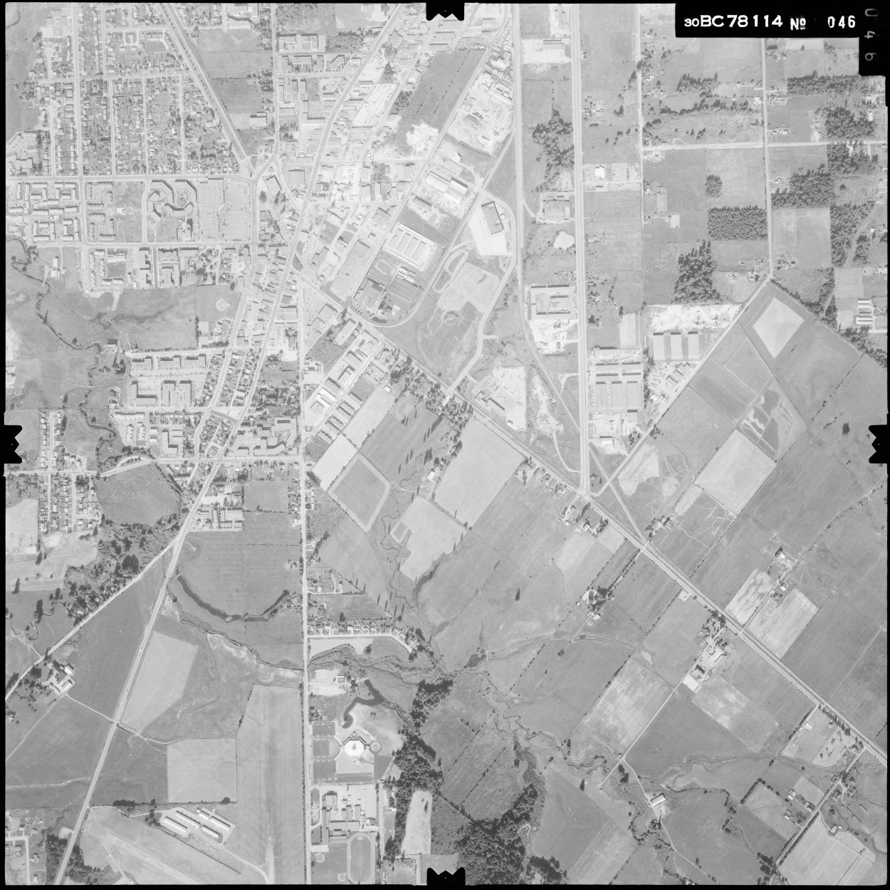
- ^ "BC78114/46". openmaps.gov.bc.ca. Government of British Columbia. 19 July 1978. Retrieved August 19, 2022.
- ^ "N/A". The Langley Advance. September 3, 1980. Retrieved August 19, 2022 – via Newspapers.com.
- ^ Greater Vancouver Fraser Valley (2014 ed.). Oshawa, ON: Canadian Cartographics Corporation. December 2001. pp. 110–111, 131–144. ISBN 1-55198-152-1.
External links[edit]