Wikipedia:WikiProject Chinese provinces/Locator maps
| These locator maps (with English labels removed) are located on Commons. |
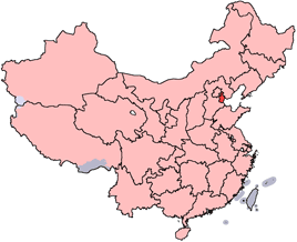
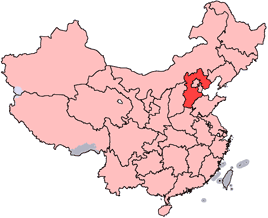
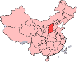
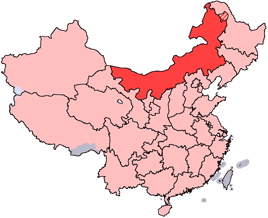
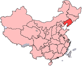
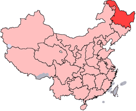
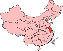
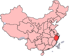
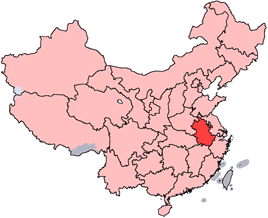
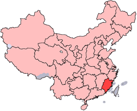
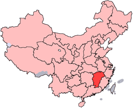
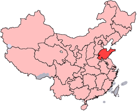
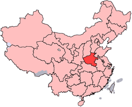
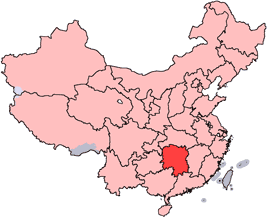
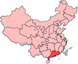
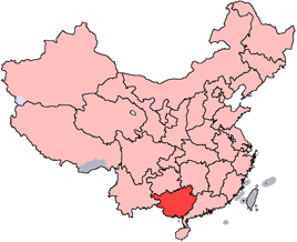
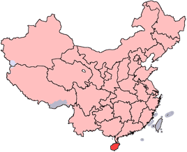
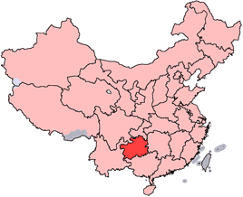
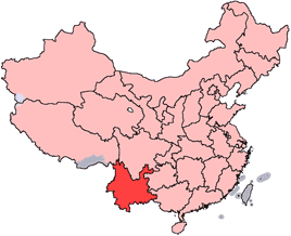
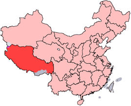
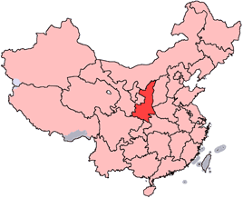
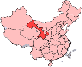
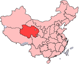
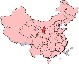
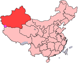
This is a set of revised NPOV locator maps for each of the provinces, autonomous regions, and municipalities of Mainland China. These maps are intended to be as NPOV as possible: all disputed areas are shown and then labeled separately. (The South China Sea islands are however omitted, because they would take up too much space in the infobox.)
As there are now rumours afloat that new provinces will be created in the next year or two, these maps will try to be as up-to-date as possible. Recent developments that are reflected in these maps include the realignment of the Gansu-Qinghai border and the border agreement between Russia and China over islands at the confluence of the Amur and Ussuri Rivers.
User:Ran has the original Adobe Illustrator files. The maps themselves were made based on a large-scale map of China by woodhome and hunry of the XZQH forums.


